How to Accurately Measure Land Area in Google Maps
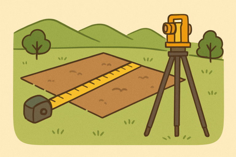
Measuring land isn’t a guessing game; it’s a precision skill. When you’re eyeing a plot or planning a construction project, you need clarity, not confusion.
The good news? With Google Maps (and its sibling Google Earth), you can calculate land area quickly and relatively easily. But here’s the catch: Without a smart process, your numbers can be misleading, your decisions flawed, and your budget exposed.
In this guide we’ll show what measuring land area in Google Maps truly means, why it matters, and how to do it step-by-step, so when you apply the data, your strategy and execution align.
Why Measuring Land Area in Google Maps Matters
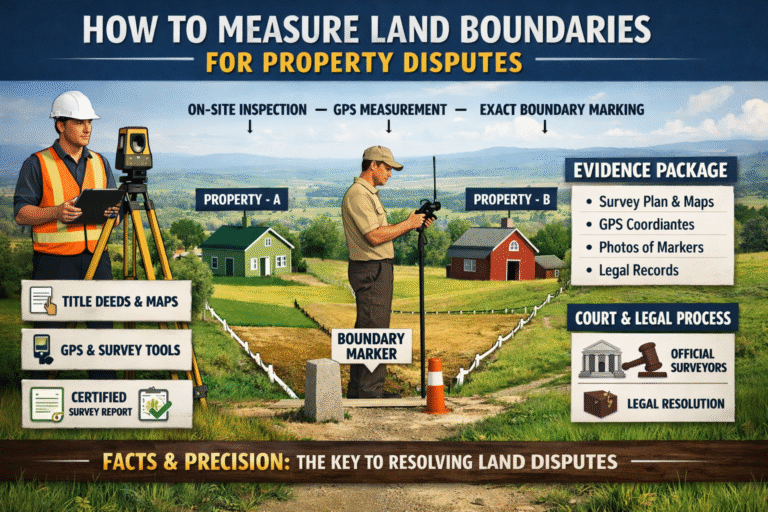
When you’re involved in property, agriculture, renovation or construction, inaccurate land-area data can cost you dearly. According to industry analysis, a credible measured plan dramatically improves design decisions and property valuations.
Using Google Maps to measure land area gives you immediate visibility. You can calculate square footage, acres, or hectares and ground your next step in data, not guesswork. But it’s not enough to click a few points. Accuracy depends on context, tool, and a clear process.
Understanding the Tools: Google Maps vs Google Earth
Google Maps Web Version
On a desktop, you can right-click a location → “Measure distance”, then click multiple points to outline a shape. Close the shape and you’ll get the area measurement.
Pros: Widely accessible; simple.
Cons: Doesn’t always account for terrain/elevation — estimates only.
Google Earth (Web & Mobile)
With Google Earth you get more detailed measurement options, including polygons, perimeter, area, and slope.
Pros: More precision; 3D terrain features supported.
Cons: Slightly higher learning curve.
Which One Should You Use?
If you’re doing basic property or plot measurement, go with Google Maps via web. If you’ve got uneven terrain, multiple levels or need professional-grade accuracy — use Google Earth or overlay a survey tool.
Step-by-Step: Measure Land Area Google Maps (Web Version)
Follow this process to measure like a pro:
Common Mistakes & How to Avoid Them
- Skipping elevation/terrain effects: Use top-down view for best readings.
- Using mobile only: On mobile Google Maps often shows only distance, not area. Use the web or Google Earth.
- Overlooking unit clarity: Make sure you know if it’s square metres, acres, or square feet.
- Assuming perfect accuracy: Even GIS professionals note the margin of error.
How to Improve Accuracy & Professional-Grade Use
Use Higher Resolution Imagery & Confirm Boundaries
Zoom until plot lines are clear. If it’s real estate, cross-check official survey maps.
Correct for Elevation or Multi-Level Terrain
Especially important if measuring slopes, hills or roofs — Google Earth supports adding slope/elevation data.
Layer With Survey Tools or GIS Files
If you have shapefiles or KML files, import them and compare. This gives precision beyond manual clicks.
Document Your Method & Share Metadata
Write down when, how many points, units used, and tool version — so your measurement is defensible.
Use Cases: Not Just Plot Size but Business Decisions
Here are scenarios where measuring land area with Google Maps helps:
- Construction firms estimating materials and labour.
- Real estate agents calculating price per square metre.
- Farmers gauging field size for yield planning.
- Renovation teams assessing roofs and expansions.
- Architects using floor plans or master-site layouts.
These aren’t academic uses; they’re business decisions grounded in measurement, visibility and clarity.
Conclusion
Knowing how to measure land area Google Maps transforms your approach from guesswork to clarity. From initial measurement to strategic planning, you’re entering each phase with confidence, data and direction. Whether you’re planning a renovation, calculating property size or prepping a business proposal — a well-structured process matters.
Your job now? Pick your tool, follow the workflow, refine your result — and build decisions based on insight, not assumption.
FAQs:
Q1: Can I measure an irregular plot area using Google Maps?
Yes. On Google Maps Web, you click along each boundary point, close the polygon, and it shows the area.
Q2: How accurate is Google Maps area measurement in Pakistan or the UAE? The tool offers a strong estimate. But due to terrain or satellite angle, accuracy may vary for critical legal or architectural use; hire a licensed surveyor.
Q3: Can I measure land area via the Google Maps mobile app?
You can measure distance on mobile, but area measurement is best on the web version or via the Google Earth app.
Q4: What units can I view when I measure land area?
Google Maps allows square metres, hectares, square feet, and acres. Choose via drop-down in results pane.
Image Credit: Shutter Stocks